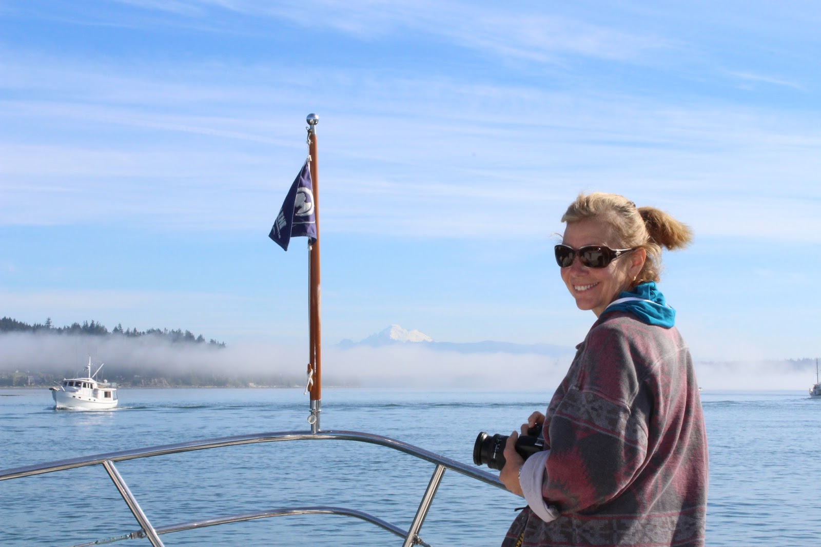
Trip
Summary and Lessons learned
We
have just finished our first extended cruise that started from our homeport of
Salpare Bay Marina in Portland Oregon and traveling up the Washington coast up
through the inside passage of Canada as far north as Kitamat before turning
around and heading south, ultimately returning to our homeport 171 days later.
For
us, this was a major learning experience on traveling in a boat in the open
ocean as well as inland cruising.
You
can read all the books, tech manuals, instruction books, discussions on forums
and picking the brains of all those that have done extended cruises before. But
until you do a cruise of this distance and time you have no idea what it
takes. And yet, we met so many people
that do this type of cruise year after year.
So
what does it take to prepare for a trip like this? Ask anyone (who have done it) and they will
tell you that you can never prepare enough.
We spent 10 months prepping and could have easily spent another 2-4
months or longer. From servicing
virtually every system onboard, replacing a few also, to choosing and procuring
the clothing, emergency equipment, spare parts, food and drink supplies,
cleaning gear and many other items. The key here is, you can spend forever
trying to prepare for every possible thing you might need, but until you leave
your homeport and cruise, you won’t know.
We
met so many really good people before, during and even after this cruise and we
would like to say Thank You to them all. If your name and boat are not listed
below, please let us know, because without you, this trip would not have been
so enjoyable.
Jeff
Merrill, our broker and good friend, jmys.com
Larry
and Marcia Crass, Nordhavn 43 Hale Kai
Bill
and Wendy Brown, Selene 4314, Sea Badger
Tom
and Kay Teseniar , Camarge 48, Alaskan Sea-Duction,
Chris
and Brigette Breuer, Chb 40, Endless Tymes
Jerry
and Jenny Nelson, Selene 43 , Forever Young
Tom
and Mary Ann Liebert , Ocean Alexander,
Friendship II
Tom
and Nita Sitterly, Ocean Alexender, Cygnus Argent
John
and Darlene Topliss, Selene 57, Ocean Osprey
Mike
and Debbie McNeill, Carver 40, Baquet 8
Bill
and Yvonne Carver, Tollycraft 43, Donya
Jon
Stewert, S/V Doghouse
Mike
Dunlap, S/V Faith Ryder
Jerry
and Suhwa Tompsett, S/V Calypso
Clark
and Nina Wagaman, Custom S/V, Rikki Tikki Tavi
Days
we traveled 171
Number
of ports visited 62
Nautical
Miles traveled 3,362
Gallons
of Diesel fuel 1368
Fuel
burn rate gallons 2.94 **includes generator and heater use
Main
engine hours 464
Generator
hours 528
Days
at Anchor 55
Days
in Moorage 116
Days
buddy boating 51
Total
expense $33K
Publications
We
used several publications in order to plan, track and gather information
throughout this trip. And I’m sure that other publications are available to
help cruisers gather information about places to visit. By far the Waggoner
Guide was the publication that we used the most. So much so, that Tracey wants
to buy a newer version for our next trip up to Alaska next year. At the very
least, if you’re planning a similar trip we recommend the Waggoner Guide as the
go to publication. We purchased many publications to help us and below are the
most used ones;
- Waggoner Cruising Guide by Burrows Bay Associates,
WaggonerGuide.com
- The Inside Passage, Route Planning Map, South Portion by
Fine Edge
- Broughton Islands Cruising Guide by Peter Vassilopoulos
Navigation
Our
boat has an older Raymarine chart Plotter that uses CMAP chips, a total of 6
are needed to cover the areas we cruised. These chips are expensive and are
limited on storage capacity. Also, in order to update the chips for newer
charts it can get pricey. Before we left Portland we purchased 2 additional
chips and at $200 bucks apiece, we needed to check out an alternative. After a
bit of research, we loaded up Navionics on an IPAD and for $50 bucks a year you
have a very nice chart program. This became our primary navigation and all you
need is an IPAD that has built in GPS and it will track your boat. If choose to go this route, get an IPAD with
as much memory as possible, you can store more charts without internet access. We
did purchase a patch cord from apple that allowed us to view Navionics on a 20
inch monitor. Word of caution here, don’t mount the monitor anywhere near your
auto pilot, Magnetic compass or any other onboard system that is sensitive to
magnetic disturbance. We are now looking for a new monitor and hope to find one
that doesn’t cause a magnetic field.

Trash
This
is one of those things people don’t talk a lot about. If you don’t modify your
trash behaviors, your boat will soon turn into a small landfill. We thought we
had prepared pretty well for this. Like removing the excess packaging before
you leave a major port and labeling them, and don’t forget to date them. We use a lot of plastic storage containers to
store items as well as reduce bulk. When
you travel to isolated places be prepared to not be able to drop off trash.
Very few places that we traveled to were able to handle trash. Most would
accept recyclables with stipulations. Most wont take crushed aluminum cans, so
if room is available don’t smash the cans. Glass bottles are accepted at most places,
but few would accept cardboard. We dumped all food and organic waste over the
side, but usually only when in high traffic areas. Some food waste will float
for a bit and dumping in a small cove with several other boaters around is not
cool. An enterprising guy at Refuge Bay (Dave) will take care of your trash for
a fee. A small kitchen bag will cost between 6-8 bucks weight being the
deciding factor. Bottom line, reduce as much as possible prior to leaving the
dock. Hint, remove the beer, soda and other packaged liquid from the cardboard
boxes and store elsewhere.
Docking
Canada
provides many different types of docking.
For the most part we had no problem finding moorage but larger boats can
expect some problems getting a spot . When possible, we sent an email in
advance of arrival to reserve a spot.
The
BC government provides government docks throughout the BC waterways. These
docks are primarily established for the commercial fishermen, but we found that
as long as your wiling to raft you can use the docks. The fees for using them
range from free to 75 cents a foot. Some do have power for an additional fee
and most provide water, location dictates potable or non-potable water. Below are a few of our favorites;
- Hartley Bay / Gigat First Nation
- Okeover Government Wharf
- Shoal Bay
- Chatter Box Falls / Princess Louisa Society
We
stayed at several marinas that are run by the local city or municipalities.
These too are primarily for the commercial fisherman, but cruisers are more
than welcome to use them. Just be prepared for tight docking as most are
crowded, especially during those times when commercial fishing is closed.
Docking fees range from .50-1.00 per foot and most have power and water. Below
are a few we stayed at;
-
False Creek, Grandville Island
-
Madeira Park
Private
marinas are in abundance and they range from very basic to full services that
include fuel, store and restaurants. Rates
for these marinas are roughly a dollar per foot and also charge between 30-50
dollars a night for 30 amp service. Power
for the most part, is provided by generators. We suspect that the power
charge is how they cover the operating expense for the year. Their busy season
is only a few months from June through September. Cruisers are their main income and we encourage
everyone to support them. Many also have trails close by, just in case you want
to get a bit of exercise. Below are some of our favorites;
- Port McNeill (Steve’s)
- Sullivan Bay
- Port Harvey
- Lagoon Cove
- Blind Channel
- Echo Bay
- Gorge Harbor
- Secret Cove
- Snug Cove
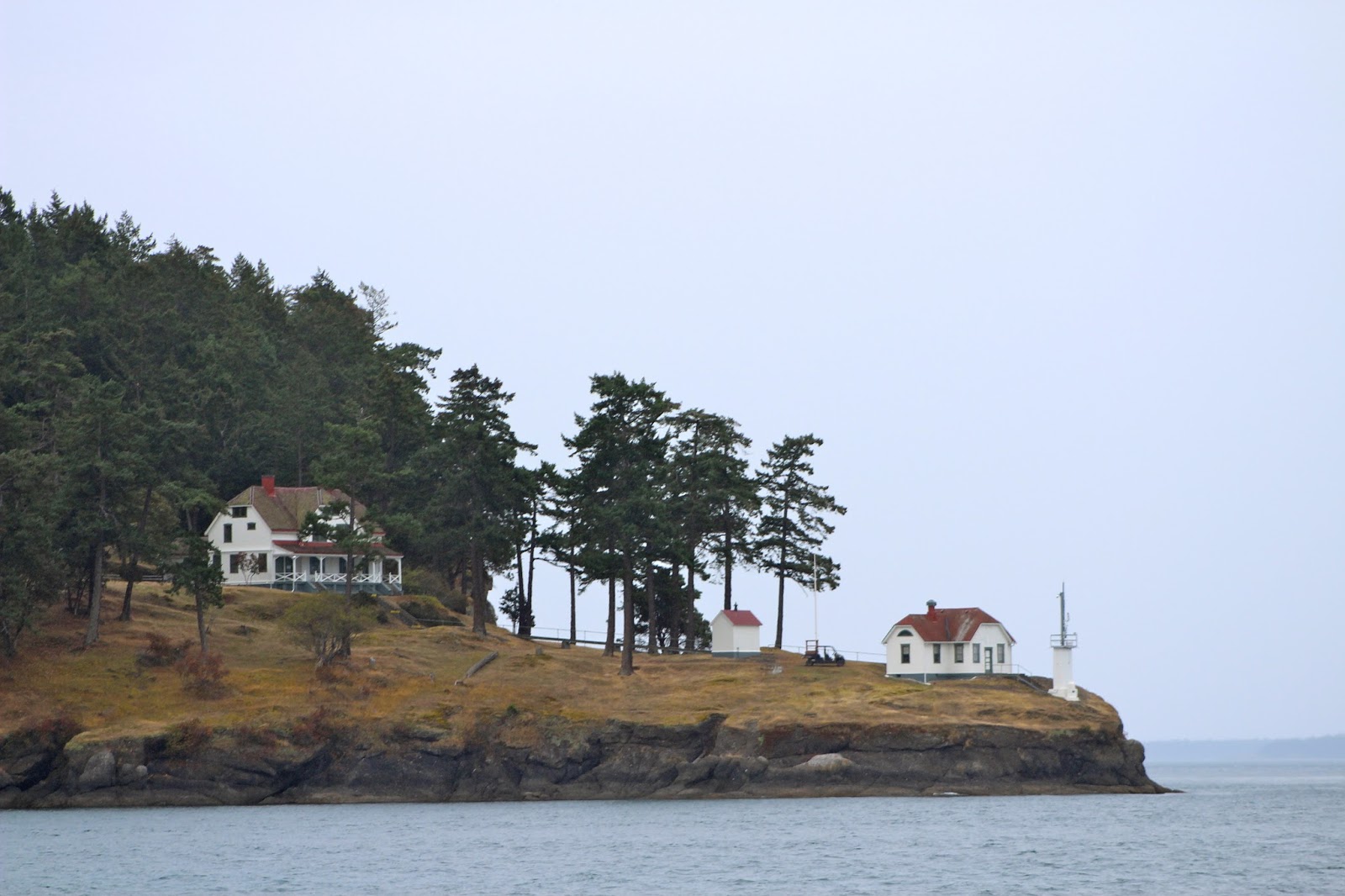
Anchorages
Without
a doubt, some of the best places to anchor are within the inside passage of
British Colombia. We found tons of coves, out of the way anchorages and
protective bays to drop the hook. For the most part, you’ll find thousands of
places that will provide a unique and pleasurable place to drop the hook. We
found that for most good anchorage, usually a 3-4 rode set was more than
adequate. For the newbies, that equates to the following. If you set your
anchor in 25 feet of water at high tide, put out 100 feet of rode at water
level. That is a 4 times rode set. Remember, your boat could have a pulpit that
is 6 or more feet above the water level. Ours is almost 9 feet. Its all about
the amount of rode that is in the water. We also used our snubber line when in
doubt, and we encourage you to think likewise. If you want to see what we use
for a snubber line, see our previous posts. Several times we rafted with fellow
boaters where we were the primary anchor point, and a few times we even stern
tied. This is especially useful when the bottom drops off quickly and the stern
line will keep your anchor set by preventing your boat from swinging. We really
enjoyed our time at anchor and encourage all to try spending a bit more time at
anchor. You will enjoy the view and might even see a bit of the wildlife, we
did! Below are a few of our favorite anchorages;
Prideaux Harbor / Desolation Sound
Tenedos Bay / Desolation Sound
Octopus Islands / Desolation Sound
Turnbull Cove / North Broughton
Kwatsi Bay / North Broughton
Khutze Inlet / Northern British
Columbia
Bottleneck Inlet / Northern British
Columbia
Internet
This
is one item that we should have been better prepared for. Internet access along
the BC coast is iffy at best. If you remain very close to the mainland or
Vancouver island, your cell phone/ hotspot will provide coverage to an extent.
We purchased a portable hotspot from Telus and as long as we were close to cell
towers, we had internet coverage. Get a few miles away, and you will experience
what life off the grid is all about. It took some getting use to the lack of
cell coverage, but it was also rather enjoyable being off the grid. Several
times we went days, or even a week or two with no cell coverage or Internet access. This made weather forecast a bit difficult,
not to mention updates of the blog. Our cell phone provider was ATT and their
Fees for international coverage is rather stupid. We are also looking into a
cell phone booster, we already have a wifi booster.
We
were rather disappointed by the marinas that advertised free Wi-Fi, as a
general rule, the internet service was at best terrible. For planning purposes, plan on no Internet
coverage, If you get it, feel privileged.
Also, if you are used to High Speed internet service at home, your gonna
be lost with any service you get, just saying.
Cell Phones
As
with the Internet, cell phones are an item we were not prepared for. As a
general rule, we shut our phones off when we crossed into Canadian waters. Our
provider was ATT and their international plan is terrible and expensive. So we are
looking into Verizon as a provider for next year, as in discussing coverage and
plans with other boater that had Verizon seemed like the best choice.
Stores and Supplies
For
the most part, once you travel north of the Georgia Strait, large towns or
communities are non existing. Two cities that are on the north end of Vancouver
Island are Port McNeill and Port Hardy and they are your last chance for major
shopping. Once you head north of Vancouver Island around Cape Caution the
population thins out considerable. One exception is Shearwater/ New Bella Bella
where you will find small groceries and a chandlery. This is your last chance
before Prince Rupert unless you include Kitimaat. Again, the key here is
preparation. If we didn’t have the Freezer, food storage would have been tough.
We did bring the Food Saver and used it extensively. The marinas that have
small stores have to ship the supplies in and that can be costly. Also, the locals in these areas know when the
shipments are coming in, so fresh produce and perishables go fast. One last
note, Alcohol is very expensive in Canada. In some places it is 2-3 times
higher than even Washington State. Just be prepared for a bit of sticker shock.

Customs
Our
experience with Canadian customs was a pleasant one. We checked in via phone at
Bedwell on South Pender Island. Be honest and upfront with them and you
shouldn’t have any problems. We found that we could bring in more booze and
Cigars than the established guide states. Because we were going to be in
country for several months we think the customs is a bit more relaxed. We were
granted a 180 day permit and off we went. If you have the time you may want to
look into a Nexus Pass, we plan to check into this, but to be honest we are in
no rush when we travel so a few more minutes is no big deal.
When
you return back into the States you will need to clear customs and show them
your cruising permit. This was something we forgot to get on the way up but the
Customs agent at Friday Harbor was more than willing to assist us in the
process of acquiring one, just another fee.
In Closing
We
are now, back in Las Vegas where we will spend the winter. The to do list is
rather lengthy, with both personal and boat related projects. We are heading
North next April for SE Alaska and our experience in Canada this year will help
to make our trip to Alaska a much more enjoyable trip next year.